Carolina is a History and Geography teacher, graduated from the Universidad de Concepción, and studied a Master’s degree in Regional and Environmental Development at the Universidad de Valparaíso (Chile). She is currently a student of the Doctoral Program in Architecture and Urban Studies from Pontificia Universidad Católica de Chile. She is also a part time professor at the Department of History and Geography, Faculty of Communication, History and Social Sciences, Universidad Católica de la Santísima Concepción.
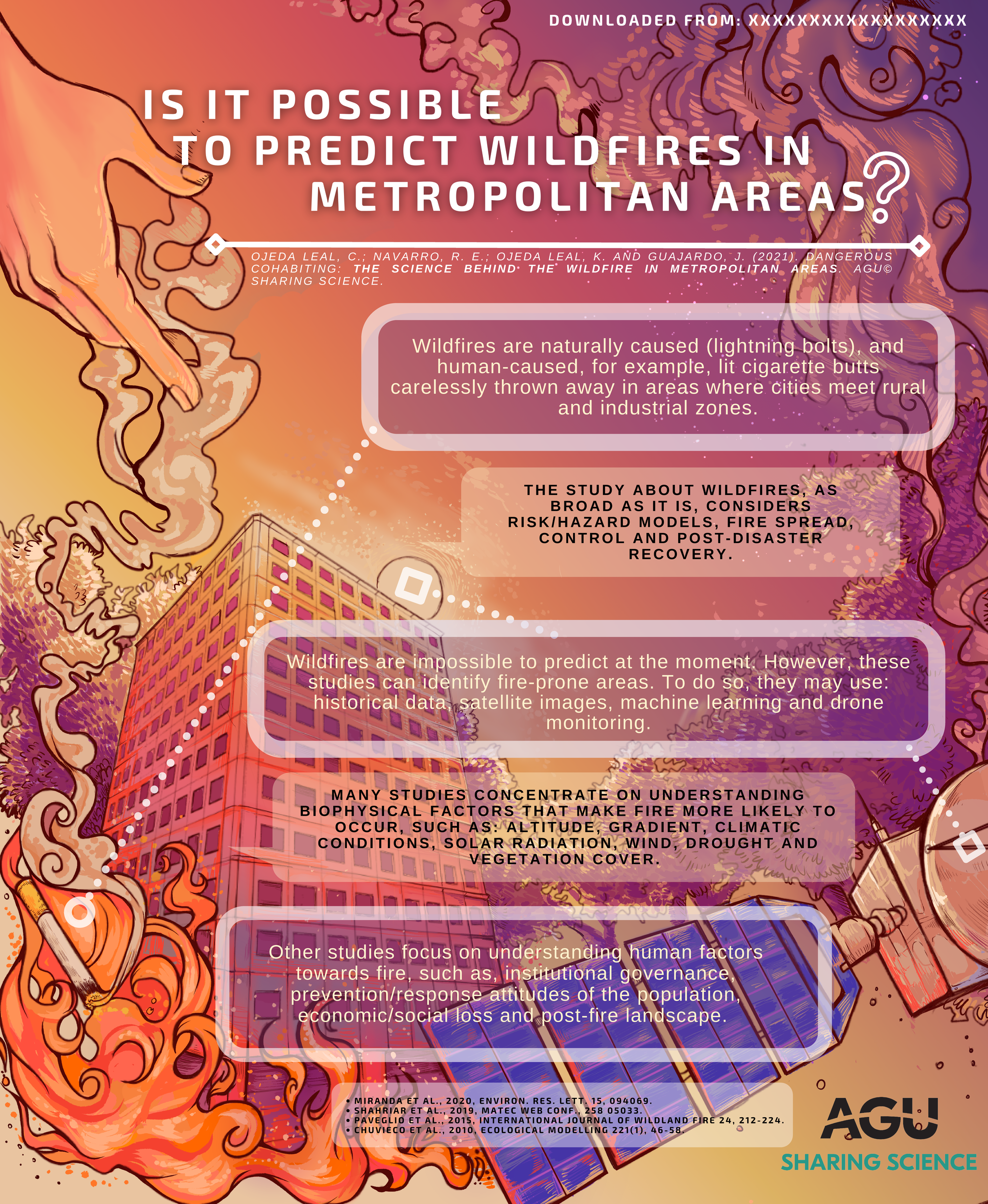
Wildfires are naturally caused (e.g. by lightning bolts), and human-caused, e.g. with lit cigarette butts carelessly thrown away in areas where cities meet rural and industrial zones.
The study about wildfires, as broad as it is, considers risk/hazard models, fire spread, control and post-disaster recovery. Wildfires are impossible to predict at the moment. However, these studies can identify fire-prone areas. To do so, they may use: historical data, satellite images, machine learning and drone monitoring.
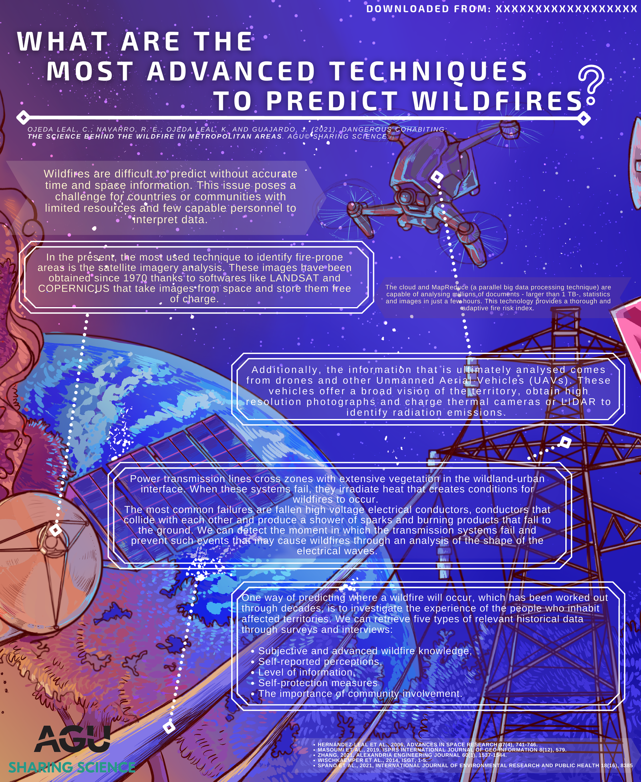
Wildfires are difficult to predict without accurate time and space information. This issue poses a challenge for countries or communities with limited resources and few capable personnel to interpret data.
In the present, the most used technique to identify fire-prone areas is the satellite imagery analysis. These images have been obtained since 1970 thanks to softwares like LANDSAT and COPERNICUS that take images from space and store them free of charge. Additionally, the information that is ultimately analysed comes from drones and other Unmanned Aerial Vehicles (UAVs).
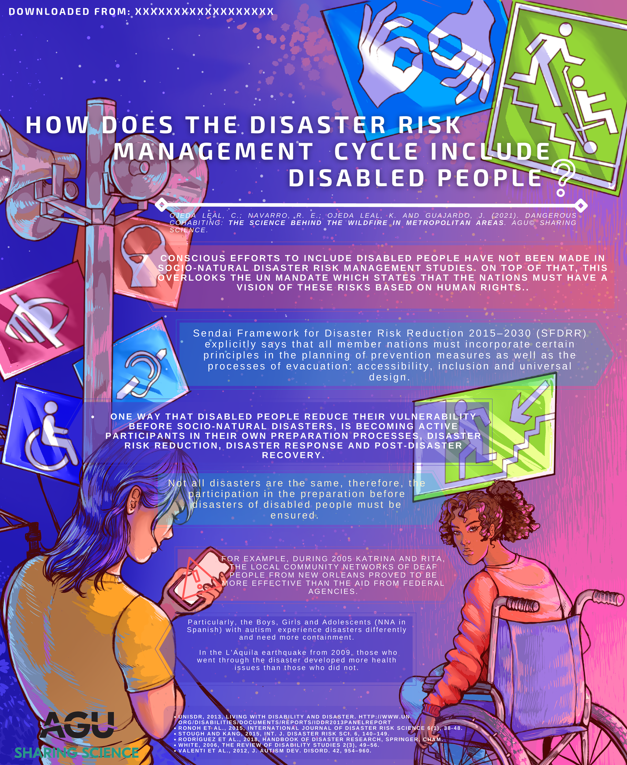
Conscious efforts to include (disabled) people with different abilities have not been made in socio-natural disaster risk management studies. On top of that, this overlooks the UN mandate which states that the nations must have a vision of these risks based on human rights.
Sendai Framework for Disaster Risk Reduction 2015-2030 (SFDRR) explicitly says that all member nations must incorporate certain principles in the planning of prevention measures as well as the processes of evacuation: accessibility, inclusion and universal design.
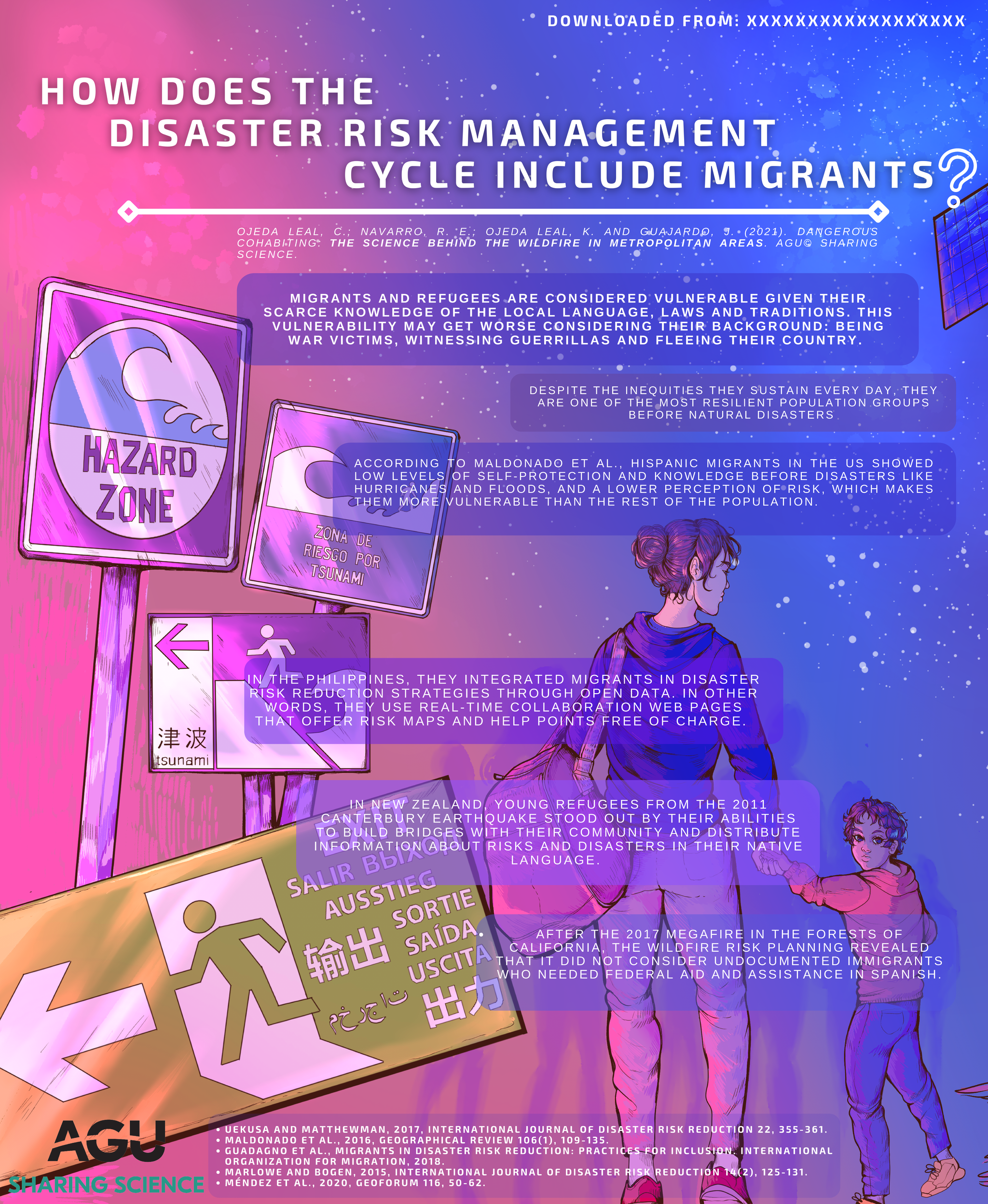
Migrants and refugees are considered vulnerable given their scarce knowledge of the local language, laws and traditions. This vulnerability may get worse considering their background: being war victims, witnessing guerrillas and fleeing their country.
Despite the inequities they sustain every day, they are one of the most resilient population groups before natural disasters.
According to Maldonado et al., hispanic migrants in the US showed low levels of self-protection and knowledge before disasters like hurricanes and floods, and a lower perception of risk, which makes them more vulnerable than the rest of the population.
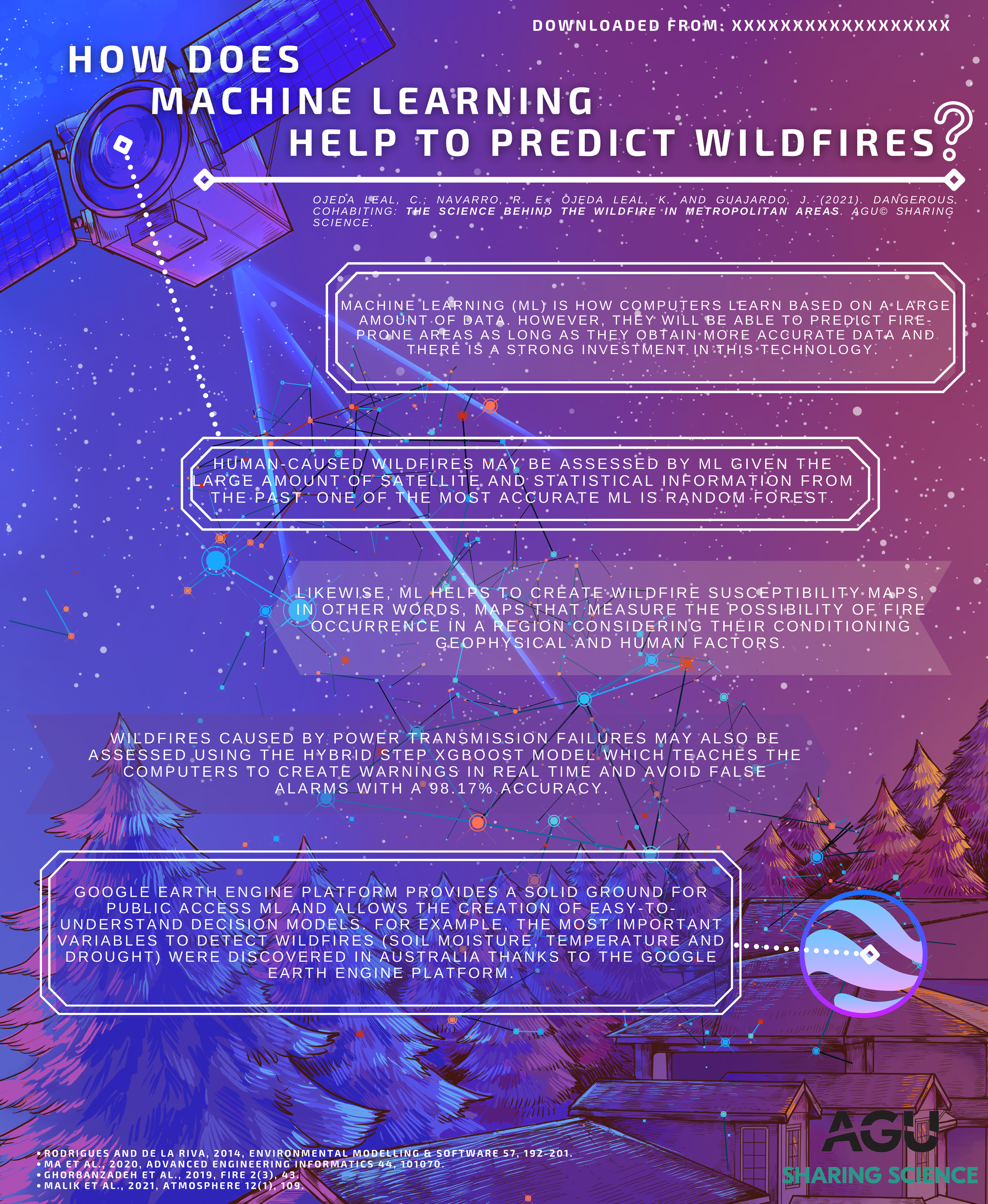
Machine Learning (ML) is how computers learn based on a large amount of data. However, they will be able to predict fire-prone areas as long as they obtain more accurate data and there is a strong investment in this technology.
Human-caused wildfires may be assessed by ML given the large amount of satellite and statistical information from the past. One of the most accurate ML is Random Forest.
Wildfires caused by power transmission failures may also be assessed using the Hybrid Step XGBoost model which teaches the computers to create warnings in real time and avoid false alarms with a 98.
The urban-rural interfaces or Wildland Urban Interface (WUI) are border areas between urban and rural land use. They are productive and complex mosaics where communities grow attached to vegetal ecosystems. Regardless, these areas are not considered among risk plans as such but they are associated with either urban or rural areas.
These interfaces have a mixture of housing and productive zones such as forestry. They are called intermixes and they become one of the most fire-prone areas.
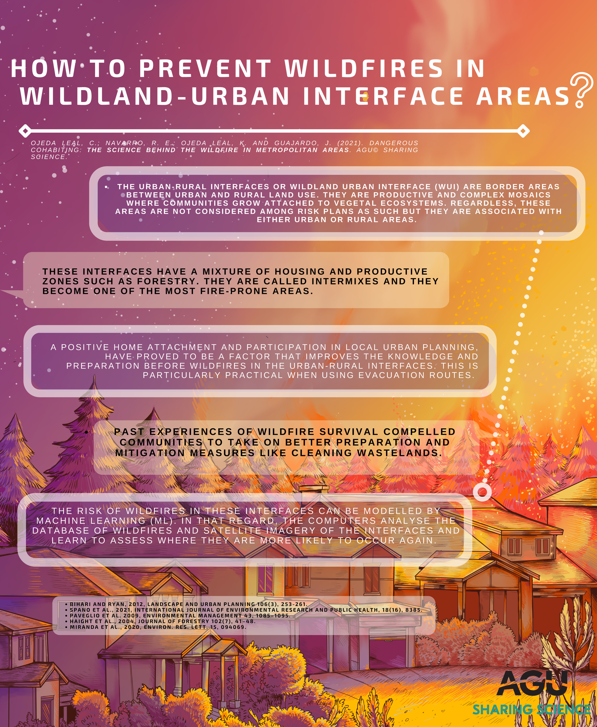
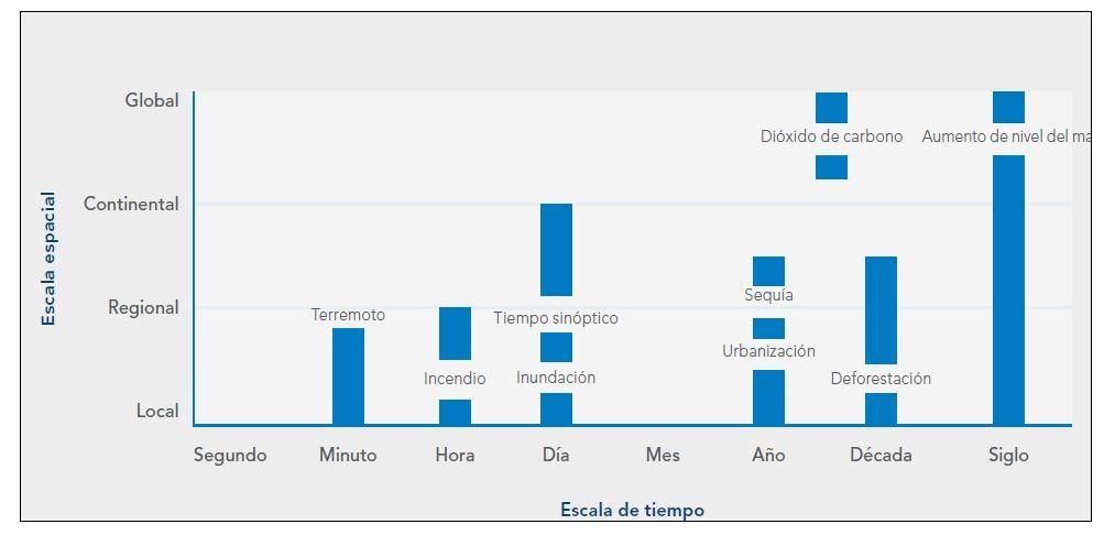
Figure: Duration of disasters in terms of time and scale. Source: The ArcGIS Imagery Book.