-
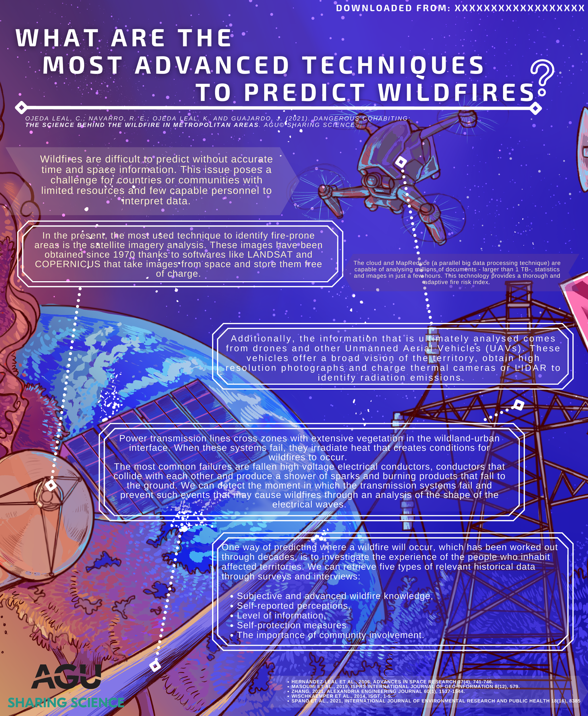
Wildfires are difficult to predict without accurate time and space information. This issue poses a challenge for countries or communities with limited resources and few capable personnel to interpret data.
-
In the present, the most used technique to identify fire-prone areas is the satellite imagery analysis. These images have been obtained since 1970 thanks to softwares like LANDSAT and COPERNICUS that take images from space and store them free of charge. Additionally, the information that is ultimately analysed comes from drones and other Unmanned Aerial Vehicles (UAVs). These vehicles offer a broad vision of the territory, obtain high resolution photographs and charge thermal cameras or LIDAR to identify radiation emissions.
-
The cloud and MapReduce (a parallel big data processing technique) are capable of analysing millions of documents - larger than 1 TB-, statistics and images in just a few hours. This technology provides a thorough and adaptive fire risk index. Power transmission lines cross zones with extensive vegetation in the wildland-urban interface. When these systems fail, they irradiate heat that creates conditions for wildfires to occur. The most common failures are fallen high voltage electrical conductors, conductors that collide with each other and produce a shower of sparks and burning products that fall to the ground. We can detect the moment in which the transmission systems fail and prevent such events that may cause wildfires through an analysis of the shape of the electrical waves.
-
One way of predicting where a wildfire will occur, which has been worked out through decades, is to investigate the experience of the people who inhabit affected territories. We can retrieve five types of relevant historical data through surveys and interviews:
- Subjective and advanced wildfire knowledge, (2) self-reported perceptions, (3) level of information, (4) self-protection measures, and (5) the importance of community involvement.
References
- Hernández-Leal et al., 2006, Advances in Space Research 37(4), 741-746.
- Masoumi et al., 2019, ISPRS International Journal of Geo-Information 8(12), 579.
- Zhang, 2021, Alexandria Engineering Journal 60(1), 1537-1544.
- Wischkaemper et al., 2014, ISGT, 1-5.
- Spano et al., 2021, International Journal of Environmental Research and Public Health 18(16), 8385
Download
Download this infographic as PDF: PG2.pdf