-
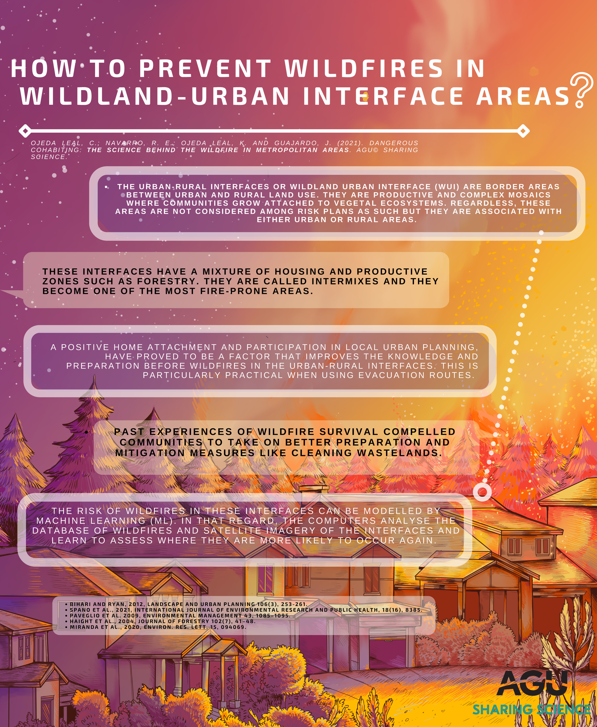
The urban-rural interfaces or Wildland Urban Interface (WUI) are border areas between urban and rural land use. They are productive and complex mosaics where communities grow attached to vegetal ecosystems. Regardless, these areas are not considered among risk plans as such but they are associated with either urban or rural areas.
-
These interfaces have a mixture of housing and productive zones such as forestry. They are called intermixes and they become one of the most fire-prone areas.
-
A positive home attachment and participation in local urban planning, have proved to be a factor that improves the knowledge and preparation before wildfires in the urban-rural interfaces. This is particularly practical when using evacuation routes.
-
Past experiences of wildfire survival compelled communities to take on better preparation and mitigation measures like cleaning wastelands.
-
The risk of wildfires in these interfaces can be modelled by Machine Learning (ML). In that regard, the computers analyse the database of wildfires and satellite imagery of the interfaces and learn to assess where they are more likely to occur again.
References
- Bihari and Ryan, 2012, Landscape and Urban Planning 106(3), 253-261.
- Spano et al., 2021, International Journal of Environmental Research and Public Health, 18(16), 8385.
- Paveglio et al. 2009, Environmental Management 43, 1085-1095.
- Haight et al., 2004, Journal of Forestry 102(7), 41-48.
- Miranda et al., 2020, Environ. Res. Lett. 15, 094069.
Download
Download this infographic as PDF: PG6.pdf