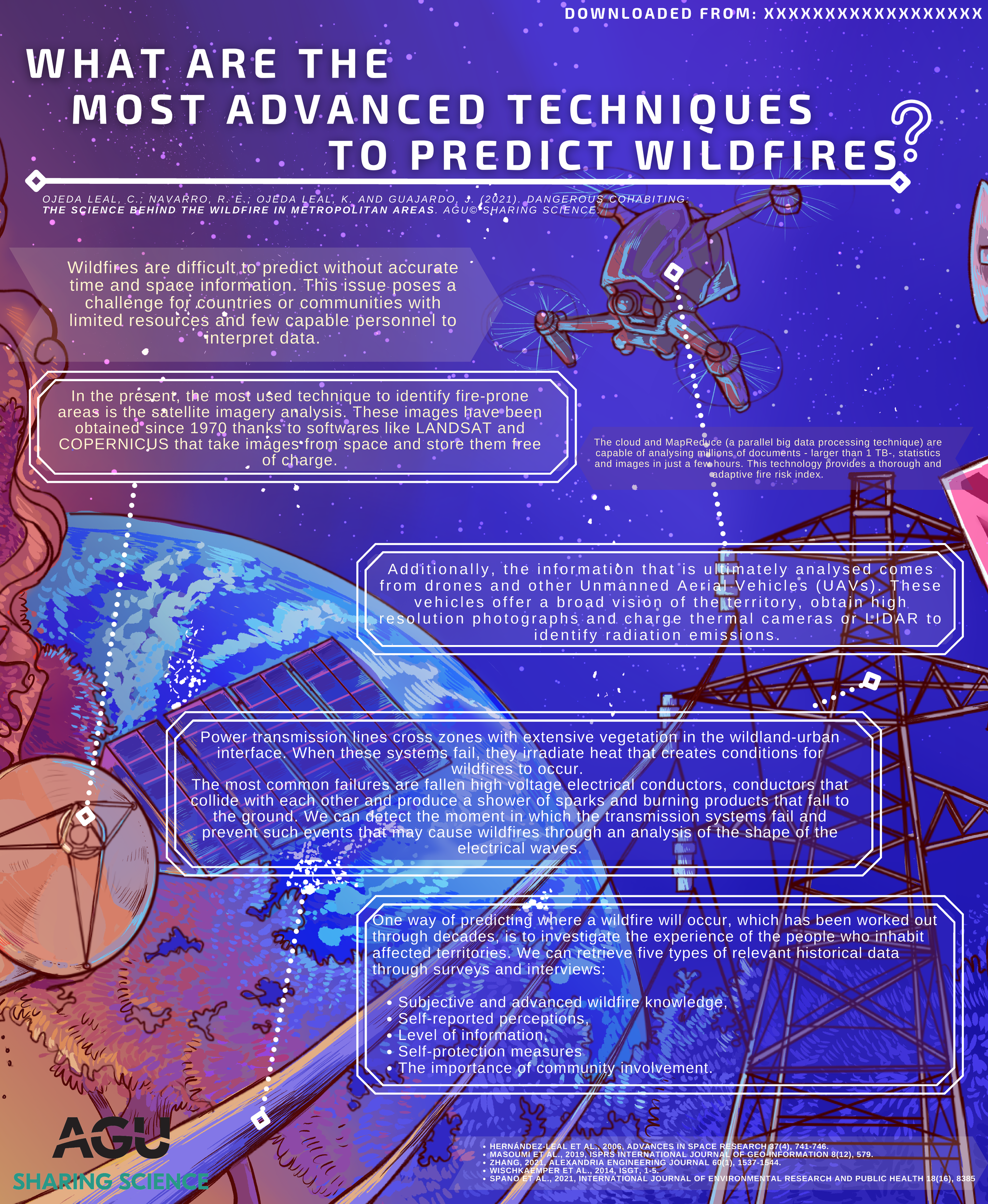
Wildfires are difficult to predict without accurate time and space information. This issue poses a challenge for countries or communities with limited resources and few capable personnel to interpret data.
In the present, the most used technique to identify fire-prone areas is the satellite imagery analysis. These images have been obtained since 1970 thanks to softwares like LANDSAT and COPERNICUS that take images from space and store them free of charge. Additionally, the information that is ultimately analysed comes from drones and other Unmanned Aerial Vehicles (UAVs).